Wachau World Heritage Trail Section 11: Arnsdorf Ferry - St.Lorenz Ferry

Hiking tour Starting from Weißenkirchen or Spitz
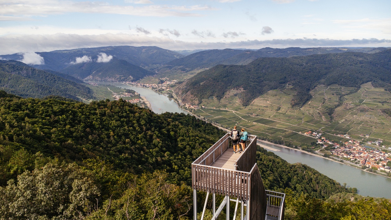
This stage on the south bank of the Danube leads along old Roman paths, through nature reserves in the Dunkelsteinerwald forest and to one of the most beautiful viewpoints in the Wachau: The Seekopfwarte.
This stage on the south bank of the Danube leads along old Roman paths, through nature reserves in the Dunkelsteinerwald forest and to one of the most beautiful viewpoints in the Wachau: The Seekopfwarte.
Welterbesteig Wachau - Wachau World Heritage Trail: From the Arnsdorf ferry to the St. Lorenz ferry (start from Weißenkirchen)
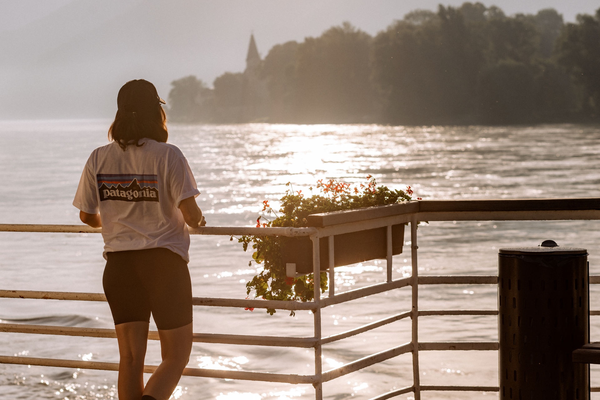
Starting from Weißenkirchen, take the Wachau Railway or bus line 715 to Spitz an der Donau. There you cross the Danube with the energy self-sufficient rolling ferry, the starting point of the hike is at the ferry station on the south bank. The route leads past the Wilhelminian-style Hofarnsdorf Castle through the wine-growing villages of Mitterarnsdorf and Bacharnsdorf with its Roman watchtower and then follows a former Roman path into the Kupfertal valley and into the forests of the Dunkelsteinerwald.
Traces of the Turkish wars and impressive views from the Seekopf and Hirschwand mountains characterize this section. Through the Steinige Ries nature reserve with its largely untouched oak and hornbeam forest and on through vineyards, the trail descends to St. Lorenz. Finally, the Danube is crossed back to Weißenkirchen on the roller ferry, bringing this varied circular tour to a close.
Hiking along the Welterbesteig Wachau - Wachau World Heritage Trail reveals step by step why the Wachau has been designated a UNESCO World Heritage region. Along finely curated World Heritage spots, the defining World Heritage highlights become visible - the interplay of historic cultural landscape, traditional viticulture, extraordinary natural spaces and the Danube as a shaping element.
For a carefree all-round offer, including luggage transport, tastings and transfer services, we recommend booking one of the versatile hiking packages.
Thanks to good rail connections, a relaxed and sustainable journey to the Wachau is easy. A dense network of public transport in the region ensures that all stages can be easily reached by bus, train, ferry and boat. This also makes it very easy to combine different stages.
The Welterbesteig Wachau - Wachau World Heritage Trail has also been awarded the Austrian Hiking Seal of Quality. This certification stands for high quality standards in terms of route guidance, signposting, safety and infrastructure and confirms the World Heritage Trail as a reliable and high-quality hiking offer in the heart of the UNESCO World Heritage Site.
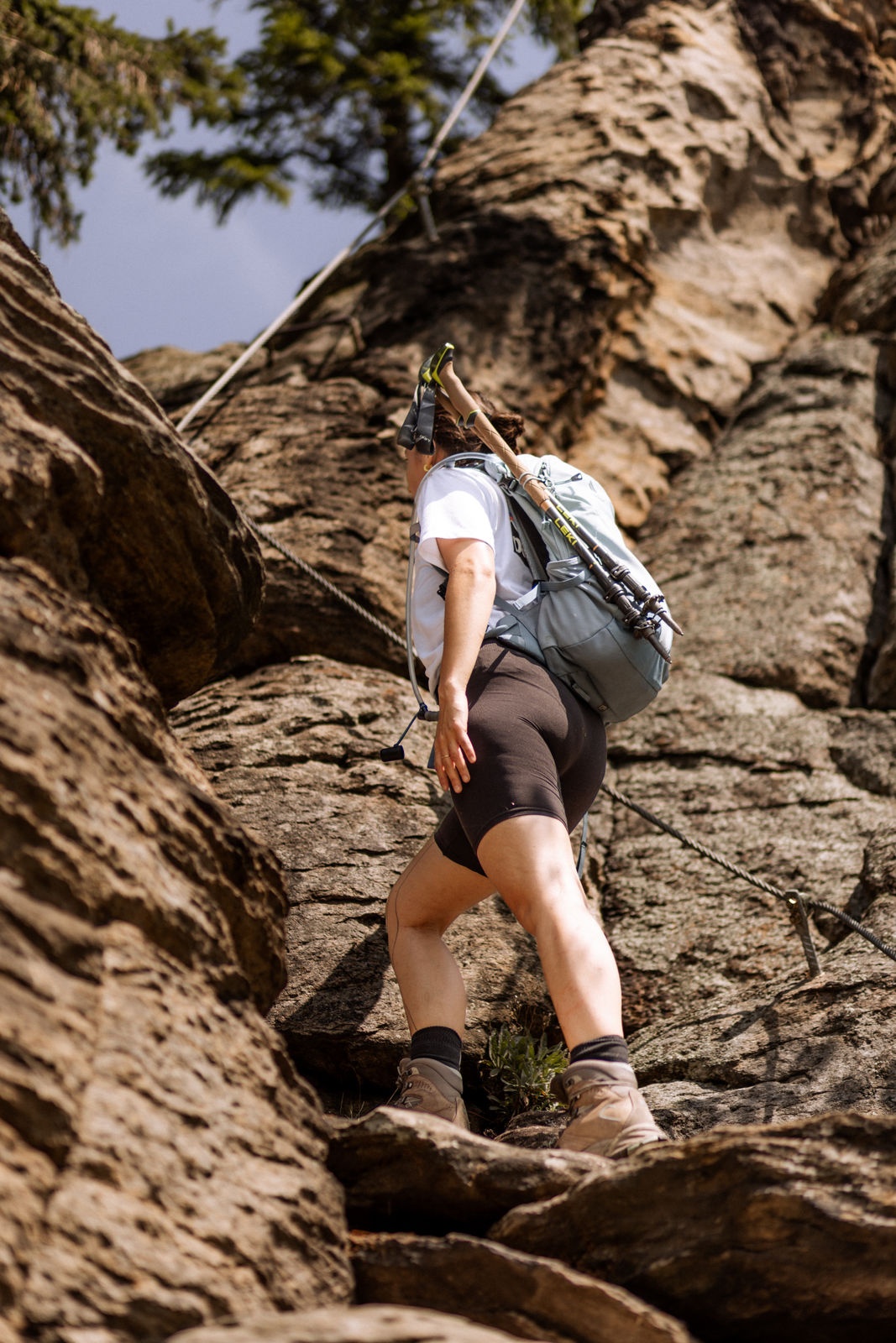
There are no rest stops along this stage, and no opportunity to refill drinking water. The approach to the Hirschwand is secured with ropes and climbing aids and includes a short climbing section. The trail in the Steinige Ries Nature Reserve between the Seekopf and St. Lorenz requires sure-footedness and extra caution.
Wachau Mountain Rescue Emergency Number: 140
Proper hiking boots, rain gear, plenty of drinks and food, as well as a Wachau hiking map and a Heurigen calendar. You can find a gear list at www.welterbesteig.at under the "Service/Tips" section.
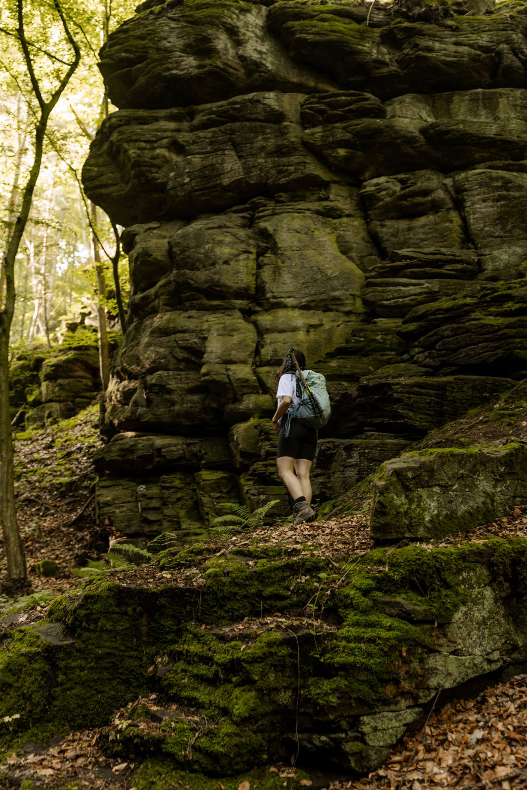
Our hiking stage begins at the roll-on ferry station in Arnsdorf. There, we keep to the left and follow the Danube downstream to Hofarnsdorf, past the castle and the parish church. We continue along a path parallel to the Danube downstream, enjoying magnificent views of the Hinterhaus castle ruins in Spitz, the Ried Atzberg, and the fortified church of St. Michael. At Bacharnsdorf, we turn right. Passing the Roman watchtower—Burgus—we reach the B33 main road: Here, we turn left to the stamp station at the Pammer family’s wine tavern (approx. 150 m). The main trail turns right at the main road and then immediately left again after a few meters. On the former Roman road (where the wheel ruts are still partially visible), our trail now leads along the Dürrenbach stream into the Kupfertal valley. We pass the beautifully situated rest area with various stone sculptures (“romantic rock group”). In the middle of the valley, we catch sight of the Türkentor on the right (the view is partially obscured by overgrown vegetation). This remnant of the Arnsdorf “village walls” dates back to the time of the Turkish Wars. At the 597-meter-high Kreuzberg (with a wayside shrine), we reach the end of the Kupfertal valley, turn left, and come upon the Way of St. James. A forest road leads us to Rührsdorfer See, which has a rest area; depending on the size of the group, we’ll go around it on the left or right. After another 15 minutes or so, we reach the 671-meter-high Seekopf, where we enjoy magnificent panoramic views from the modern observation deck. A short time later, there’s an opportunity to enjoy another beautiful view from the Hirschwand, which borders the Welterbesteig trail. However, this can only be reached via a climbing section with ladders (optional, approx. 10-minute approach). Afterward, our descent to St. Lorenz begins. In the Steinige Ries Nature Reserve, we hike steadily downhill through a forest consisting partly of pure oak trees and featuring bizarre rock formations. Time and again, beautiful views of the Wachau open up before us. At the end of the Steinige Ries, we hike along the longest dry-stone wall trail in the Wachau (several hundred meters long). Above the St. Lorenz church, we join the Rossatz Panorama Trail and reach the turnoff to the St. Lorenz-Weißenkirchen roll ferry, followed by an approximately 15-minute descent.
Travel to the Wachau by train via Krems or Melk.
In the Wachau region, bus lines 720 (south bank) and 715 (north bank), 3 ferries (Dürnstein–Rossatz, Weißenkirchen–St. Lorenz, and Spitz–Arnsdorf), the Wachau Railway on the north bank, Nextbike rental bikes, and DDSG ferry boats.
Leider können wir Ihnen zum jetzigen Zeitpunkt keine Wetterdaten für den Ort anzeigen.
