Luftberg Trail

Hiking tour Starting from Aggsbach-Dorf Municipal Office
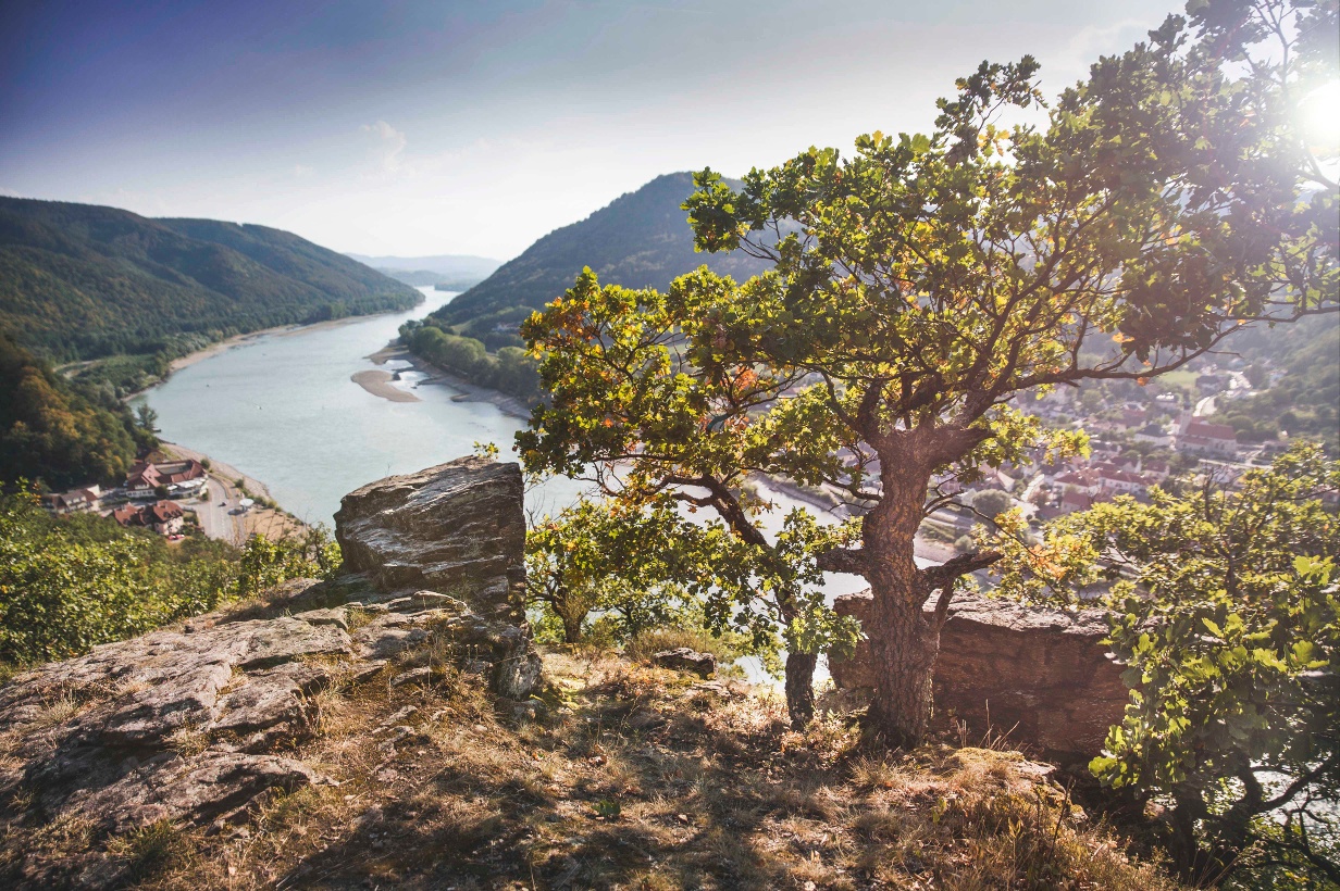
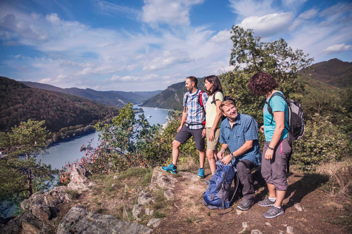
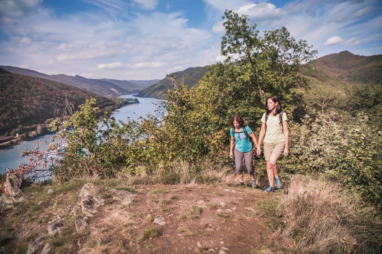
The circular hiking trail begins and ends at the municipal office in Aggsbach-Dorf and takes you on a short detour to Luftberg, a vantage point that offers a breathtaking panoramic view of the Danube valley and Melk.
The circular hiking trail begins and ends at the municipal office in Aggsbach-Dorf and takes you on a short detour to Luftberg, a vantage point that offers a breathtaking panoramic view of the Danube valley and Melk.
This circular hiking route starts at the municipal office in Aggsbach-Dorf and leads a short way on the sidewalk past the Kellerhaus towards the village center, in the direction of the Aggsbach Charterhouse. At the junction to the Haidn guesthouse shortly before the bridge, turn left and just before this guesthouse, the path leads right over the so-called "Hartl" turning left to the transmitter. From the transmitter, the path returns over the Luftberg. It is definitely worth taking the short detour to the Luftberg viewpoint (2 min), because from there you can see into the Danube valley and as far as Melk.
Back on the path, follow the slightly downhill field path and after the wildlife enclosure, turn right. Passing the Kellerhaus, you will reach the municipal office again.
Parking available at the charterhouse in Aggsbach Dorf.
West motorway A1 to Melk exit, continue on B33 to Aggsbach Dorf.
On the south bank of the Wachau, bus line 720 runs Krems-Rossatz-Melk and Melk-Rossatz-Krems. Aggsbach Dorf and Hofarnsdorf are directly connected to the Krems and Melk train stations. On the north bank of the Wachau, bus line 715 runs Krems-Spitz-Melk and Melk-Spitz-Krems. www.vor.at
Rental bike Nextbike stations (EUR 1/hour) are located in Aggsbach Dorf and Hofarnsdorf, www.nextbike.at
The ferry times of the cable ferry Arnsdorf-Spitz for crossing the Danube can be found here.
No ferry service on weekends in winter.
Leider können wir Ihnen zum jetzigen Zeitpunkt keine Wetterdaten für den Ort anzeigen.
Person responsible for the content of this tour:
Wachau-Nibelungengau-Krems Valley ("Kremstal" in German):
Letzte Änderung: 4 Aug 2026
