Jauerling Summit Route

Hiking tour Starting from Mountain station/Nature Workshop parking lot (Oberndorf am Jauerling)
“And above us, the vast, vast sky—the Jauerlinger Summit Circuit.” Starting now, both visitors and locals can explore the Jauerlinger summit area through interactive, multimedia experiences.
“And above us, the vast, vast sky—the Jauerlinger Summit Circuit.” Starting now, both visitors and locals can explore the Jauerlinger summit area through interactive, multimedia experiences.
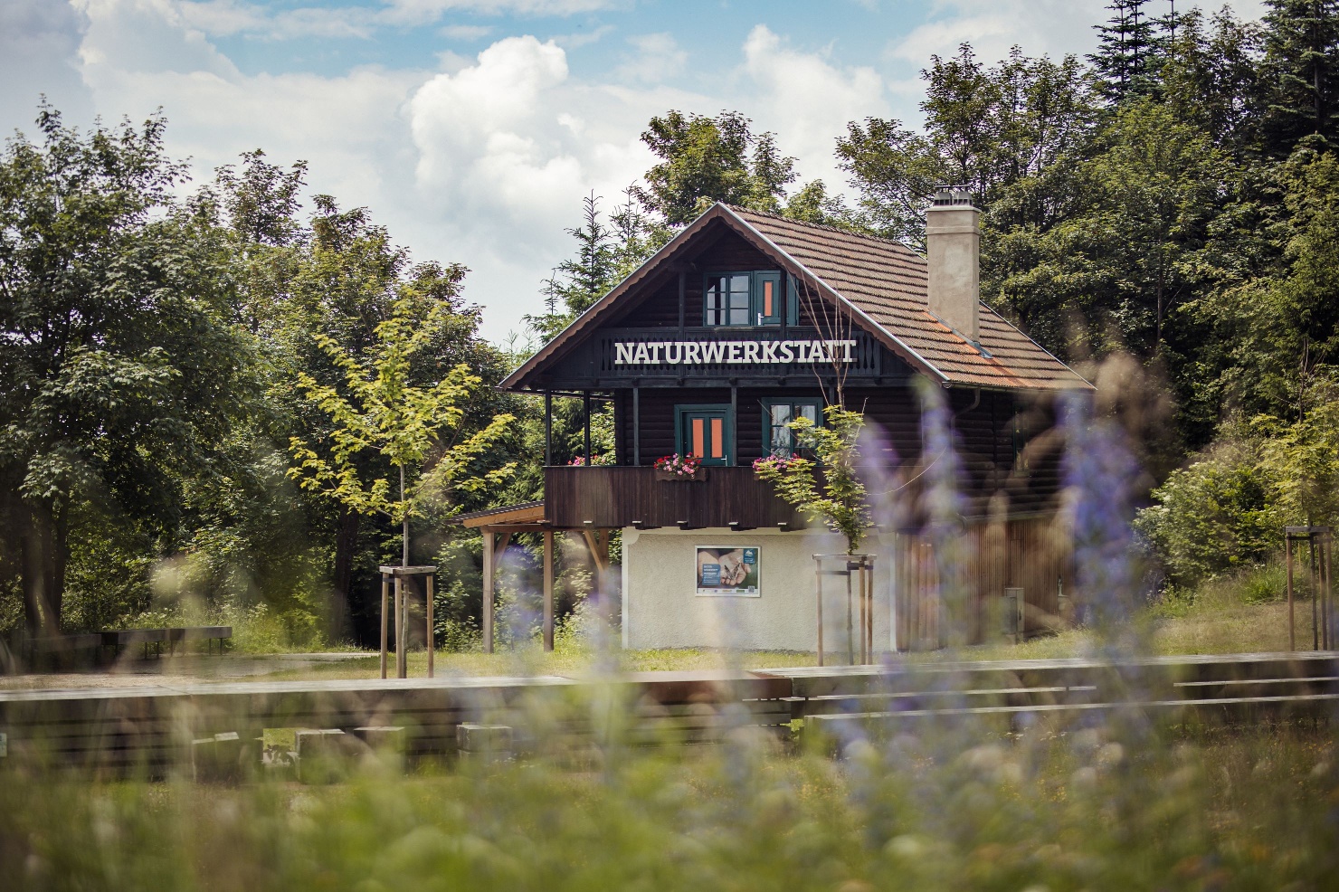
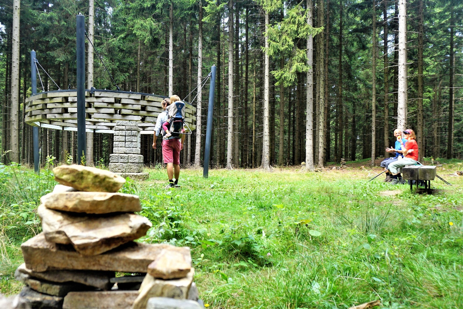
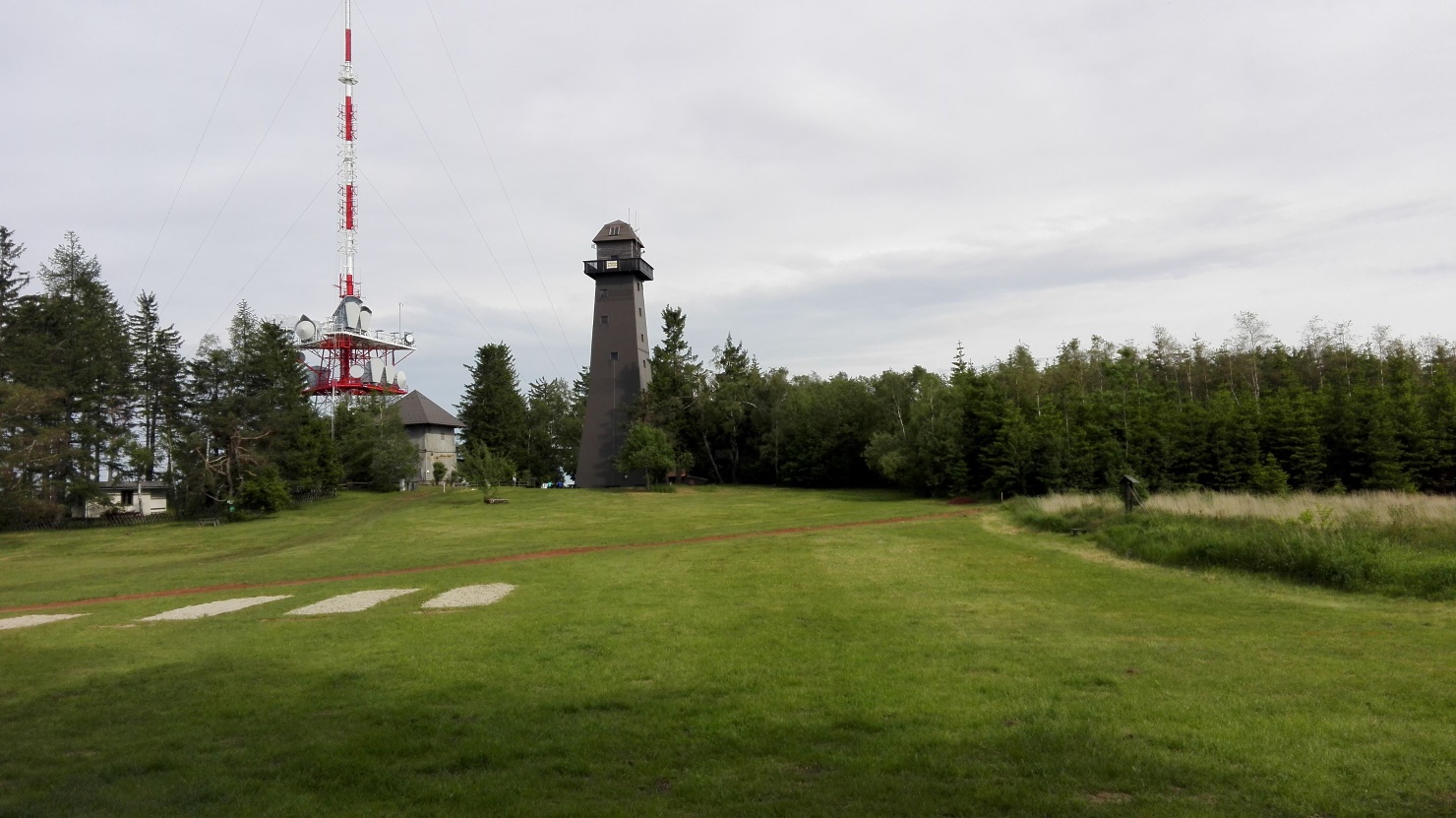
Use your smartphone to discover new trails on the summit of the Jauerling and learn interesting facts about nature and conservation, agriculture, and the history of the highest mountain along the Danube. Join Anna and Peter on a hike through the Jauerling summit area between the summit station, the observation deck, and the nature park visitor center. The two friends are from Jauerling. Today, Anna and Peter are meeting up again after a long time and enjoying a walk together on the highest mountain along the Danube. The route includes ten different stops, starting at the mountain sign near the nature workshop. The app and audio guide feature photos, old views, postcards, songs, and recipes for apricot jam. Users and listeners receive an emotional yet factually accurate overview of the nature park, its region, and the Wachau in general.
The app can only be downloaded on-site at Jauerling, at the summit station, and at the nature park visitor center. No internet connection is required while walking. Using GPS, your smartphone detects which station you are at. An analog quiz game with ten questions and a folder complements the app and the themed trail. At the end, there is a gift for participants. Headphones are recommended!
As an alternative to the app, we also offer an audio guide. Dive deeper into the history of the Jauerling and learn about the region’s unique features. Simply follow the link below.
Emergency call Mountain Rescue Wachau: 140
Headphones are recommended for the app. Otherwise, hiking shoes, rainproof clothing, and drinking water. The Wachau hiking map is available from Danube Lower Austria Tourism, wachau.at. You can also pick up the map at the Nature Park office c/o Maria Laach municipal office (Contact: Nature Park Jauerling-Wachau, info@naturpark-jauerling.at).
The path includes 10 different stations, with the starting point being the mountain panel at the Jauerling mountain station.
Free parking is available at the Nature Park House and at the mountain station.
By car from the West Autobahn in Melk, take B3a towards Emmersdorf, then the third exit in the roundabout (direction Dürnstein, Krems) on B3 to Schallemmersdorf, turn left to Maria Laach on L7145, from Maria Laach to Oberndorf on L7133, then toward the viewpoint until the mountain station. The destination is Oberndorf am Jauerling (mountain hut).
Oberndorf is reachable by bus on weekdays using public transportation. Line 797 runs on school days from Melk station to Oberndorf. Note that a same-day return by bus is not possible. Details on bus schedules can be found at www.vor.at.
On Saturdays, Sundays, and public holidays from May to October, the Jauerling shared taxi is offered as an alternative to private travel. With the Jauerling shared taxi, you can conveniently reach the summit area from Melk or Spitz. Departure is at 10:00 am, return at 4:30 pm.
Website-Jauerlinger Sammeltaxi
Rental bike (Nextbike) stations (EUR 1/hour) are located in Melk, Emmersdorf, Spitz, Aggsbach, and Mühldorf.
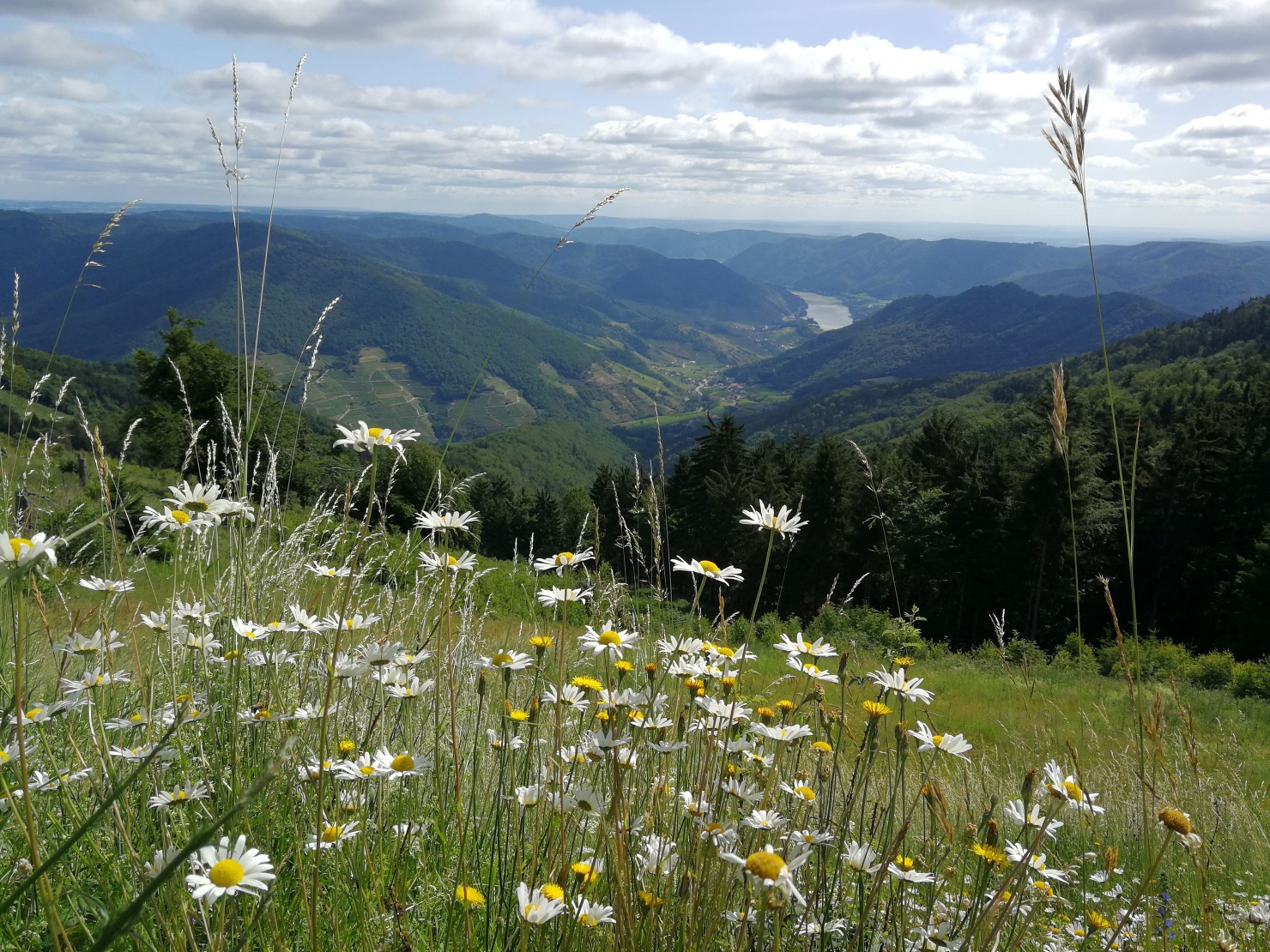
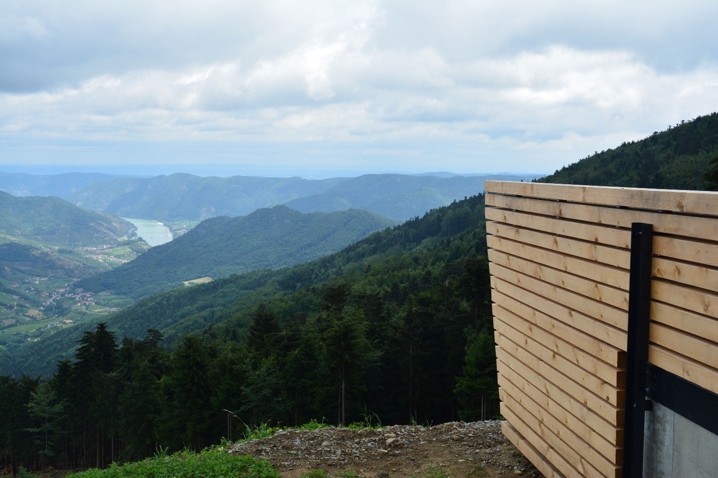
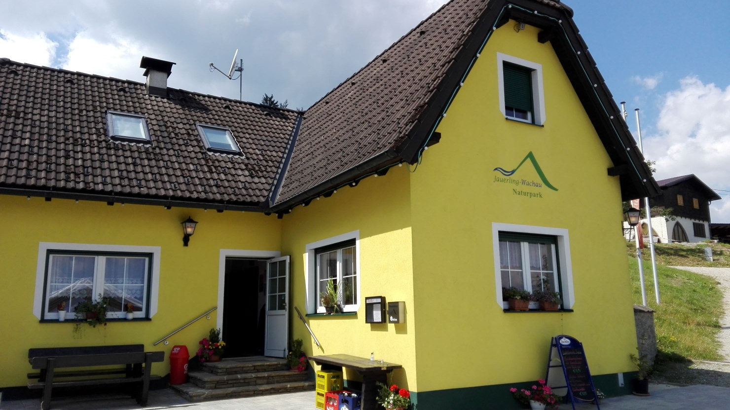
Just below the Jauerling summit, at 915 meters above sea level, lies the Naturparkhaus – Gasthaus am Jauerling. From the Wachau Terrace, you can enjoy the highest and most beautiful view of the Danube.
The Naturparkgasthaus is car-free and has limited traffic. The final ten minutes to the Naturparkgasthaus must be covered on foot. Please note the opening hours!! We ask groups and/or bus tours to register in advance. Regional quality and products, as well as close collaboration with producers from the nature park, characterize the cuisine and the work of the Nature Park Inn.
Leider können wir Ihnen zum jetzigen Zeitpunkt keine Wetterdaten für den Ort anzeigen.
Nature Park House – Guesthouse at Jauerling
Jauerling Ski Lift
Jauerling Viewpoint
Letzte Änderung: 13 Oct 2026
