
Danube Way of St. James: Krems–Mautern Link Route

Hiking tour Starting from Krems Parish Square
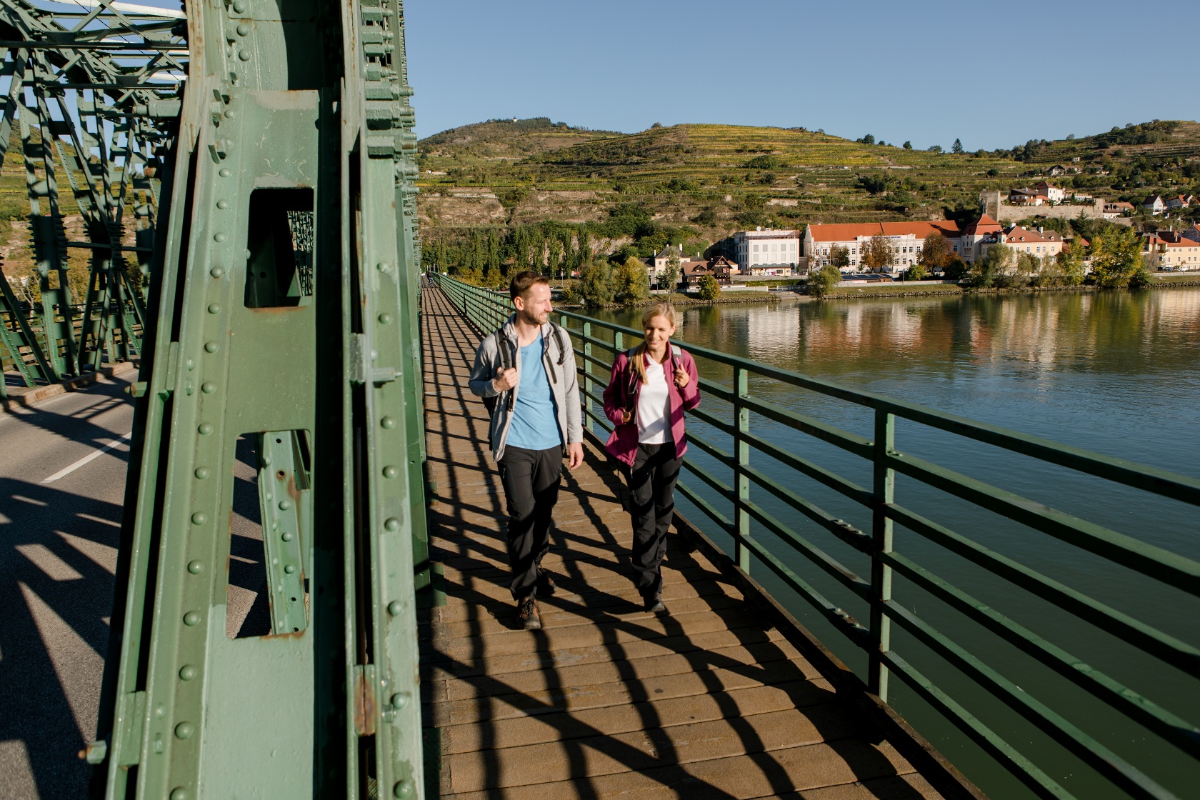
From Pfarrplatz in Krems an der Donau, walk along Obere Landstraße in the direction of Stein. At the end of Stein, cross the Danube bridge in the direction of Mautern.
From Pfarrplatz in Krems an der Donau, walk along Obere Landstraße in the direction of Stein. At the end of Stein, cross the Danube bridge in the direction of Mautern.
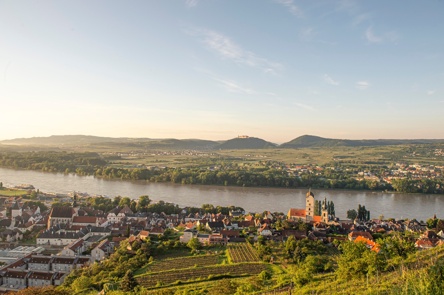
From Pfarrplatz in Krems an der Donau, walk along Obere Landstraße in the direction of Stein. Passing numerous sights, you cross the Danube bridge at the end of Stein in the direction of Mautern. At the junction of Kremser Straße and Melker Straße, you have reached the Way of St. James on the Danube.
Leider können wir Ihnen zum jetzigen Zeitpunkt keine Wetterdaten für den Ort anzeigen.
Person responsible for the content of this tour
Wachau-Nibelungengau-Krems Valley ("Krems Valley" in German)
Letzte Änderung: 4 Aug 2026
